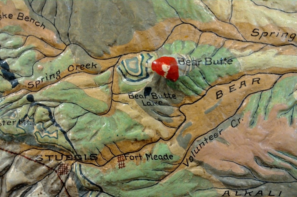
Relief models are designed to give the observer an “angel’s eye view” of a landscape, as I describe it in my book. There is no intellectual experience like it–to have an instantaneous view of hundreds of square miles at a glance allows the brain to understand the topography, slope, terrain, proximity, and geologic processes together…
relief models
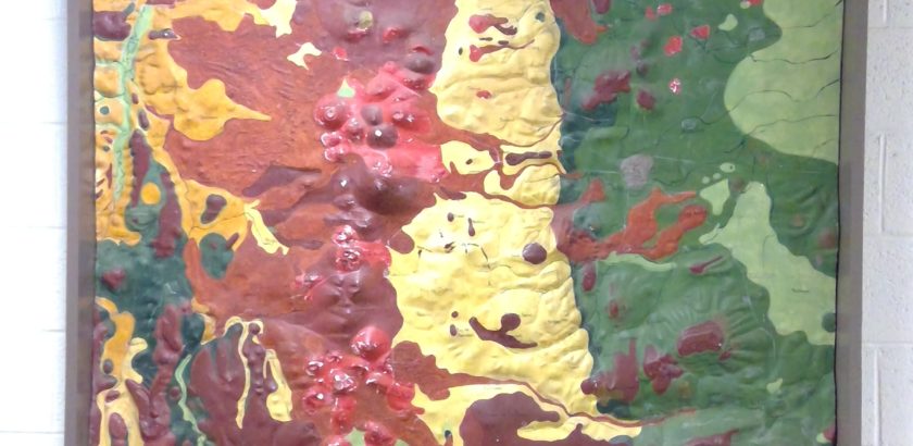
Wesleyan treasure trove of relief models
In 2018, I visited Wesleyan University to see their Glyptodon in Exley Hall and instead found a stunning cache of historic relief models that are truly significant in the history of cartography. Here’s the campus newspaper article about my visit: http://wesleyanargus.com/2018/04/23/mccalmont-places-universitys-relief-map-collections-within-campus-global-histories/ BACKSTORY Edwin Howell, who designed and built the models on this blog, set up…
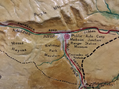
blog: Archaeology articles in “Yellowstone Science”
In 2016, a Yellowstone Park staffer contacted me about their relief model. What was its history? Who was Edwin Howell? The map is installed in the Yellowstone Justice Center. After I filled him in on the history of it, I hired a photographer from Idaho to shoot high-quality images of it and I gave those…
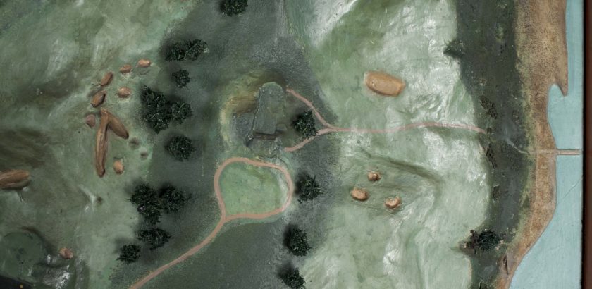
Shinnecock Hills Golf Links – the Edwin Howell Relief Model
A historic relief model is at the 118th US Open today. It’s the 1911 relief model of the National Golf Links at Shinnecock Hills, Long Island by Edwin E. Howell. The Golf Links model was restored in 2014 by Christine Puza, Assistant Conservator of Furniture and Wood Objects for the Williamstown Art Conservation Center. I discovered her…
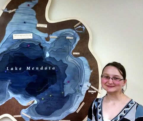
Caroline Rose and Magnetic Mendota
At the “Science Hall After Dark” event Nov 11, I was fortunate to meet an interesting young geographer, Caroline Rose. She’s made a 3D map of Lake Mendota at Madison, Wisconsin for the Wisconsin Hoofers. It’s available for viewing at their space at Memorial Union on campus. Her portfolio of the project is here: http://cmrrose.github.io/mendota.html . The project was featured on…
About Melanie McCalmont
Melanie McCalmont is the author of “A Wilderness of Rocks.” She is the national expert on historic geographic relief models.
Her first book “A Wilderness of Rocks: The Impact of Relief Models on Data Science” (2015) explores the role of relief models in the early formation of modern data science. Her second book (in progress) is a biography of relief modeler Edwin E. Howell (1845-1911). Other current projects include research with articles for the Library of Congress Map Division, the National Park Service, museum collections, and individual map collectors.
See past talks and upcoming appearances…
Melanie is a University of Wisconsin-Madison graduate with a M.Sci. in Geography and a M.Sci. in Life Science Communication. She is internationally certified in UX, or user experience research and analysis. Additionally, Melanie has over 25 years of practical work experience as a data analyst, web designer, and science writer in fields of aerospace, utilities, education, and geographic information systems.
Melanie currently lives and works in Colorado.
Contact:
- evolveyourselfblog— -*(at) g mail dot com
- Colorado Springs, CO 80911

blog: 3D objects, relief models, and technology
The documentary “Print the Legend” covers the rise of 3D consumer printing startups. The featured companies are MakerBot and FormLabs. At the very beginning, I was excited to see MakerBot founders displaying a small relief globe in the startup lab. Later, founder Bre Pettis, midway through the documentary, holds it up in the TV screen capture below. I…
Book excerpt: how were historic relief models made?
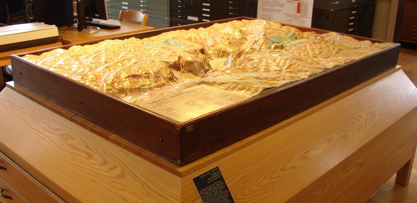
What are relief models? The following text is an excerpt from the book “A Wilderness of Rocks: The Impact of Relief Models on Data Science” by Melanie McCalmont. For a full description of model-building in this era, consult the book. Relief models are three-dimensional objects with a thematic map overlay. Models are the most effective…
leaving your mark
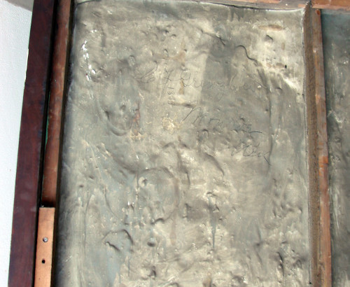
New word: Petrosomatoglyph. It’s the body prints or markings in a rock-like substance. Think of a handprint in your neighborhood cement sidewalk. Petrosomatoglyph. Hollywood Boulevard Walk of Fame. Dinosaur footprints in fossilized mud. The ancient Indian markings in the southwestern desert. (I’ve heard that cement layers, who were Mets fans, when refurbishing the old Yankee Stadium wrote…
Relief model video: University Place and PBS
This presentation was recorded at the Wisconsin Historical Society “History Sandwiched In” series in July 2013. Since that recording, my continuing research has changed some of the facts stated in the video. Those changes are noted underneath the video.
Updates from this 2013 video:
- My book was published in 2015 “A Wilderness of Rocks: the Impact of Relief Models on Data Science” available on Amazon or through inter-library loan.
- UW-Madison has more models than 25. In 2014 I discovered models at UW-Whitewater and UW-Milwaukee making 28. These are all listed in the book.
- In April 2018, I discovered a Grand Canyon model at Wesleyan University. They are approximately the same age, but the UW-Madison map has been altered with new map data whereas the Wesleyan map has not.
- The Yosemite map: I mentioned the dotted line is the park boundary. I was wrong. It is the extent of a geologic survey by Francois Matthes in USGS PP 160)
- I am currently writing a biography of Edwin E. Howell and am looking for a publisher.
Black Hills
