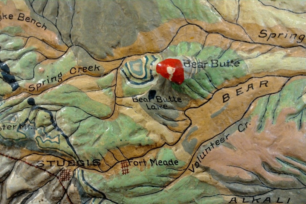
Relief models are designed to give the observer an “angel’s eye view” of a landscape, as I describe it in my book. There is no intellectual experience like it–to have an instantaneous view of hundreds of square miles at a glance allows the brain to understand the topography, slope, terrain, proximity, and geologic processes together…
Melanie
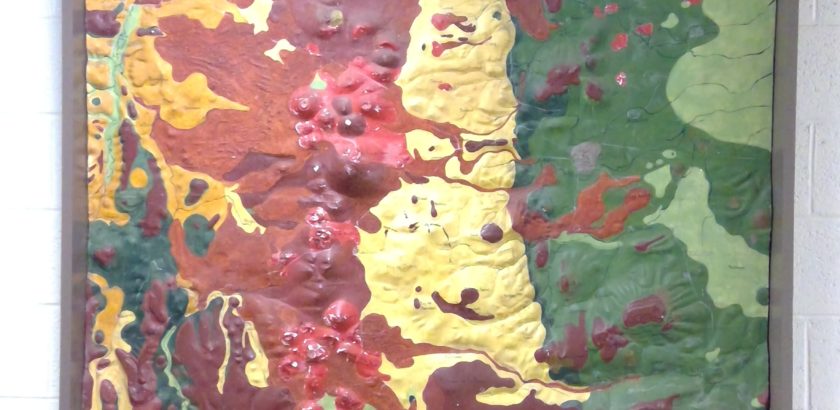
Wesleyan treasure trove of relief models
In 2018, I visited Wesleyan University to see their Glyptodon in Exley Hall and instead found a stunning cache of historic relief models that are truly significant in the history of cartography. Here’s the campus newspaper article about my visit: http://wesleyanargus.com/2018/04/23/mccalmont-places-universitys-relief-map-collections-within-campus-global-histories/ BACKSTORY Edwin Howell, who designed and built the models on this blog, set up…
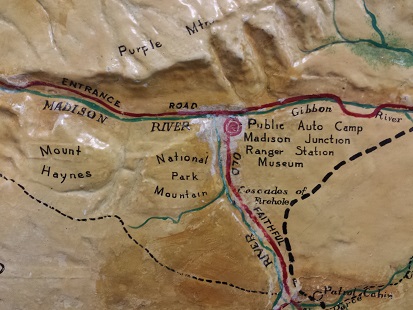
blog: Archaeology articles in “Yellowstone Science”
In 2016, a Yellowstone Park staffer contacted me about their relief model. What was its history? Who was Edwin Howell? The map is installed in the Yellowstone Justice Center. After I filled him in on the history of it, I hired a photographer from Idaho to shoot high-quality images of it and I gave those…
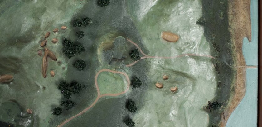
Shinnecock Hills Golf Links – the Edwin Howell Relief Model
A historic relief model is at the 118th US Open today. It’s the 1911 relief model of the National Golf Links at Shinnecock Hills, Long Island by Edwin E. Howell. The Golf Links model was restored in 2014 by Christine Puza, Assistant Conservator of Furniture and Wood Objects for the Williamstown Art Conservation Center. I discovered her…
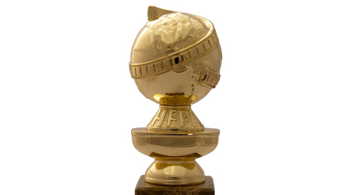
Trophies and relief models
How many trophies can you name that have a relief model globe in them? I was passing through a hotel lobby last week and caught a glimpse of the Golf Channel, which I never watch. The sound was off. On screen with the commentators was a very large trophy of a golden lion with one paw…
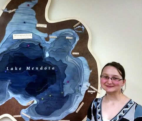
Caroline Rose and Magnetic Mendota
At the “Science Hall After Dark” event Nov 11, I was fortunate to meet an interesting young geographer, Caroline Rose. She’s made a 3D map of Lake Mendota at Madison, Wisconsin for the Wisconsin Hoofers. It’s available for viewing at their space at Memorial Union on campus. Her portfolio of the project is here: http://cmrrose.github.io/mendota.html . The project was featured on…
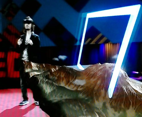
blog: Rochester, NY and the promise of 3D models
Geography lovers: prepare to be delighted. If much of the futuristic mapping technology in the news puts you off as too impractical, this TED talk by Alex Kipman seems downright practical. Kipman is an alumnus of the Rochester (NY) Institute of Technology–the same high-tech city that gave the subject of my book, Edwin Howell, his start in…
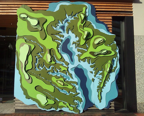
Storefront art
This artwork was part of the storefront for a clothing store in Maryland. We all had to take the bus since the metro was out in one large section. When we stopped to get back on the metro, the storefront had this brilliant artwork made of painted wood. Photo taken in summer 2005 during thesis…
About Melanie McCalmont
Melanie McCalmont is the author of “A Wilderness of Rocks.” She is the national expert on historic geographic relief models.
Her first book “A Wilderness of Rocks: The Impact of Relief Models on Data Science” (2015) explores the role of relief models in the early formation of modern data science. Her second book (in progress) is a biography of relief modeler Edwin E. Howell (1845-1911). Other current projects include research with articles for the Library of Congress Map Division, the National Park Service, museum collections, and individual map collectors.
See past talks and upcoming appearances…
Melanie is a University of Wisconsin-Madison graduate with a M.Sci. in Geography and a M.Sci. in Life Science Communication. She is internationally certified in UX, or user experience research and analysis. Additionally, Melanie has over 25 years of practical work experience as a data analyst, web designer, and science writer in fields of aerospace, utilities, education, and geographic information systems.
Melanie currently lives and works in Colorado.
Contact:
- evolveyourselfblog— -*(at) g mail dot com
- Colorado Springs, CO 80911
blog: 3D objects, relief models, and technology
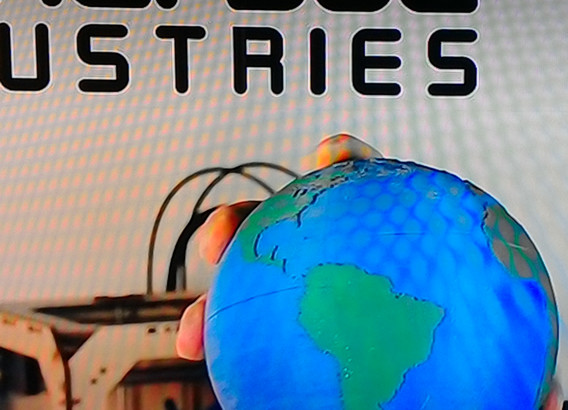
The documentary “Print the Legend” covers the rise of 3D consumer printing startups. The featured companies are MakerBot and FormLabs. At the very beginning, I was excited to see MakerBot founders displaying a small relief globe in the startup lab. Later, founder Bre Pettis, midway through the documentary, holds it up in the TV screen capture below. I…
blog: relief model on House of Cards Season 4 Episode 1
In Season 4 Episode 1, there’s a relief model on the president’s TV. The Netflix series “House of Cards” is a deft user of media (profession) as the slip-n-slide that propels him along his evil path. So I enjoyed seeing a relief model on TV in the first 13 minutes of the season. It appears…
Blog: Film studio logos and relief models
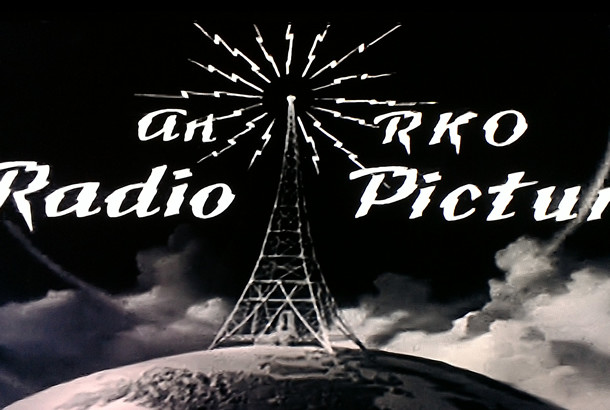
This blog post will blow your mind. Did you know that relief modeling was the inspiration for major film studio logos from the 1920s to today? Title sequences in older films often have delightfully analog elements of design. The photo included at right is the production title for RKO Pictures’ The Hunchback of Notre Dame…
Blog: Creativity, fashion, and globes
High fashion and old maps were the last thing I expected to see together. This morning I was half-watching a reality show, “House of DVF” while I hit my first 2 cups of tea and checked some historic article downloads for missing OCR layers. [My primary motivational habit is to work on computer housekeeping chores at…
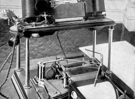
blog: Emerging technology at the 1904 Louisiana Exposition
World’s Fairs had such impact! Read about a demonstration of the telautograph and it’s wondrous instant messaging and a home telephone voice recorder from in the 1904 World’s Fair news section “Electricity up to 1904”. Below the except is a photo of an early solar collector dish, also displayed at the 1904 Louisiana Exposition. I came across…
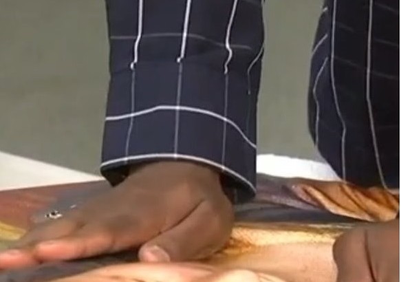
blog: 3D printing and relief modeling for the blind
Relief models were widely used in schools for the blind in the late 1800’s. With the advent of braille and talking books, relief models of landforms, buildings, town layouts, and historic sites were made out of plaster so that students could use them as illustrations for lessons. Tactile graphics and models have been used continuously…
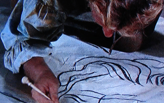
Blog: Pouncing and relief models
Pouncing is an artist’s technique that was also used to create relief models. I was watching “The Agony and the Ecstasy” (1965, book by Irving Stone) and suddenly realized that they were showing “pouncing” that I described in my recent book. In the movie (stills captured from TV below) you see Michelangelo and his crew tracing…
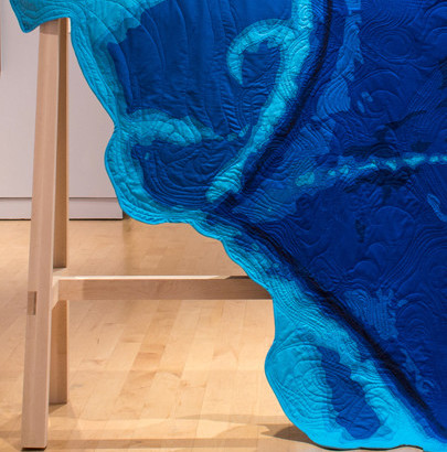
Blog: Pacific quilt relief art
Once you look for relief modeling, you see it everywhere. About two years ago I went to a faculty art show at the Chazen Museum, and saw this great quilt on display. It’s by Sarah Fitzsimmons. http://www.sarahfitzsimons.net/pacific-quilt#/0 I’ve sent her an email about how close her quilt art is to the plaster type (email me…
Book excerpt: how were historic relief models made?
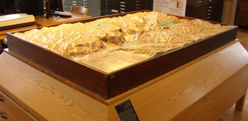
What are relief models? The following text is an excerpt from the book “A Wilderness of Rocks: The Impact of Relief Models on Data Science” by Melanie McCalmont. For a full description of model-building in this era, consult the book. Relief models are three-dimensional objects with a thematic map overlay. Models are the most effective…
leaving your mark
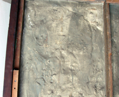
New word: Petrosomatoglyph. It’s the body prints or markings in a rock-like substance. Think of a handprint in your neighborhood cement sidewalk. Petrosomatoglyph. Hollywood Boulevard Walk of Fame. Dinosaur footprints in fossilized mud. The ancient Indian markings in the southwestern desert. (I’ve heard that cement layers, who were Mets fans, when refurbishing the old Yankee Stadium wrote…
blog: photographing the Yosemite National Park relief model
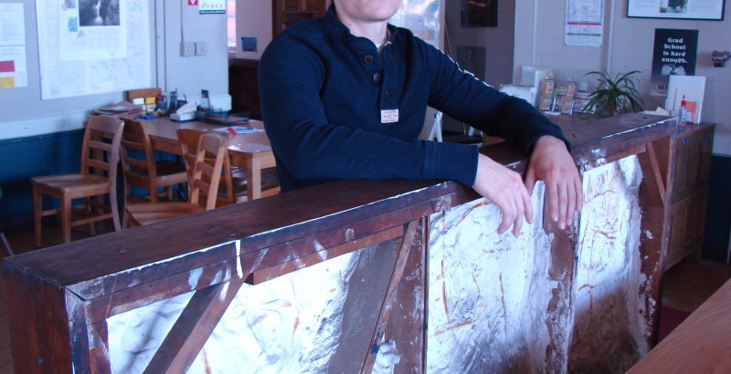
I stood there in terror, my hands up ready to cover my eyes, watching for the tiniest slip or jerky movement. Five of our photography team assistants were moving a 200-pound, 8×4 foot relief model from a table top to the floor, about 3 feet. We needed to photograph it face-on and there was no other way…
blog: researching old maps
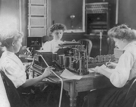
How does a line of research get started? From January 21, 1877, the Memphis “Daily Appeal” newspaper published a summary of this article in the “Review of Geographic Progress” for 1876. At the annual meeting of the New York Geographic society, held in Chickering Hall, New York, on Tuesday last, Judge Daly, the president, read a carefully…

blog: sandboxes and analog modeling
Adults immersed in tech fields are wisely choosing to remove tech from their kids’ school environments, specifically enrolling their kids in schools that do not have tech at every turn. There is a neurological reason for this that we feel in our own lives: the subtle pressure to stay connected, the nagging tiny fear of missing…
Relief model video: University Place and PBS
This presentation was recorded at the Wisconsin Historical Society “History Sandwiched In” series in July 2013. Since that recording, my continuing research has changed some of the facts stated in the video. Those changes are noted underneath the video.
Updates from this 2013 video:
- My book was published in 2015 “A Wilderness of Rocks: the Impact of Relief Models on Data Science” available on Amazon or through inter-library loan.
- UW-Madison has more models than 25. In 2014 I discovered models at UW-Whitewater and UW-Milwaukee making 28. These are all listed in the book.
- In April 2018, I discovered a Grand Canyon model at Wesleyan University. They are approximately the same age, but the UW-Madison map has been altered with new map data whereas the Wesleyan map has not.
- The Yosemite map: I mentioned the dotted line is the park boundary. I was wrong. It is the extent of a geologic survey by Francois Matthes in USGS PP 160)
- I am currently writing a biography of Edwin E. Howell and am looking for a publisher.
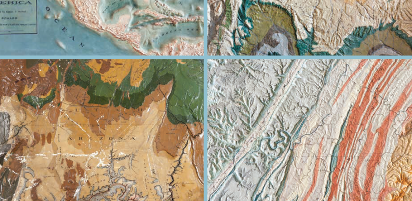
About the book
Read an excerpt. “A Wilderness of Rocks: the Impact of Relief Models on Data Science” is a large-format book for every history, emerging technology, and map lover. The Introduction tells the history of these 3D models, and each model has its own unique background story with gorgeous photographs by Timothy Hughes. Read an excerpt “Yosemite…
Black Hills
